Kirk Yetholm to Wooler, along the St. Cuthbert’s Way

Steady climb with grass under foot
Kirk Yetholm to Wooler
13.7 miles, ascent 2230 ft./679.7 m
This is the most photographed section of St. Cuthbert’s Way. I’m sure you will recognize the scenery from blogs and booking company websites. But it is well-photographed for a reason. This was by far our groups favorite day.
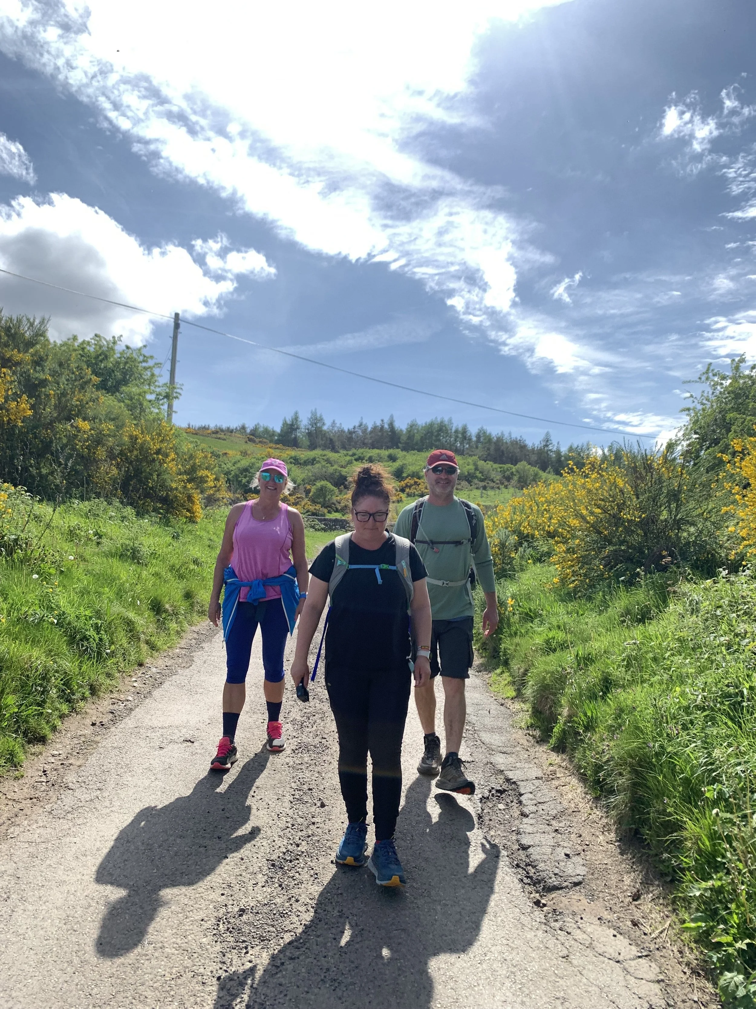
After a full English breakfast, we set out excited and full of anticipation for what we would see when we crossed the border. We were not disappointed!
After leaving the village you walk on a country road that leads to the first steep climb. Once again it was lovely, soft, short grass for the first hill, followed by a descent to the Halterburn glen. The next climb comes right after the descent with the same underfoot. Poles were definitely needed for this section. The top of the hill was beautiful, with sprawling views of Tom Tallon’s Crag and rolling green hills. The trail you just came from becomes a picture-perfect postcard. The gradual descent passes through pastures of cows and sheep, then onto a farm road that leads you to the picturesque village of Hethpool. The village has two B&Bs but does not have a restaurant or any shops that we could find.
The journey up to Tom Tallon’s Crag is one you will remember. The path through tended farmland is wide and mostly grassy until you reach the top where it opens wide into a patchwork of purple heather. Walking through the heather-clad moors is like wandering through a happy version of Wuthering Heights.

Moorland walking section
The path itself (if you can keep your eyes on the ground) is soft and spongy with a combination of dirt and matted heather. As you wind through this lovely section you come across hunting blinds buried in the ground. My mind wandered thinking about the hunt for grouse (the bird that roams the moors), the hunters quiet in their blinds on a cold misty morning, gun dogs gracefully pointing and retrieving their trophy and their owner’s evening meal.
This moorland walk continued for 3 to 4 miles before dropping down to a tarmac road leading to a parking lot. From there, the path would have taken us through a forest track but unfortunately, a wind storm in the month prior had blown down many trees and blocked the path. There were signs warning us of a section closure that instructed us to walk along the road down to Wooler.
When we came to this spot, just one mile from Wooler, we realized we had not seen Hadrian's Wall and the border. Confused and disappointed we looked around for clues to its location. Had we walked right past the sign saying, “Welcome to England” on one side and “Welcome to Scotland” on the other. We all wanted photos in front of the signpost and walking along Hadrian's Wall. We contemplated retracing our steps but did not know how far we would be adding to our almost 14-mile day. We decided to continue Wooler and find out the exact location and maybe get a taxi close to the site. Sadly, we learned the signpost was 1.4 miles outside of Kirk Yetholm. How could we have missed it? I still don’t know. It was the only disappointing part of our whole trip, pretty good for a 62-mile hike.
Wondering how we missed the “Welcome to England” and the Hadrian’s Wall
The approach to the town of Wooler was quick, my mind was still swirling in disappointment but I quickly recovered on seeing the prettiest little village with a Co-op, candy store, pubs, meat market, a bank, and the mouth-watering Italian restaurant we would be dining at.
We stayed at the Black Bull Inn which had very nice rooms and a great breakfast. I really liked this little town and could see myself staying a while and making a life here.